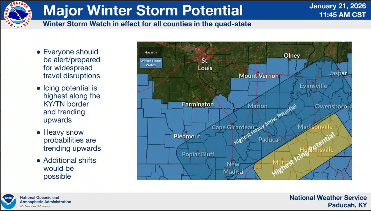
The probability of an impactful snow/winter weather event continues to trend upward steadily. The risk for some icing along the Kentucky/Tennessee border is also trending upward. There is a steadily increasing potential for very heavy snow (8 inches or more) over at least some of the region. Dangerously cold conditions will develop Friday night and persist through much of the storm. Temperatures are not expected to climb above freezing until Tuesday at the earliest. View the complete Major Winter Storm Potential briefing packet on the Paducah National Weather Service Website: https://www.weather.gov/pah.
STAY AWARE, SAFE AND WARM!
Have more than one way to get weather updates:
Webster County EMA Facebook
Webster County EMA Alerts Sign Up
Paducah National Weather Service Facebook
Paducah National Weather Service Website
You must be logged in to post a comment.